GKVS actively contributes towards spring and river rejuvenation through watershed management, hydrogeological surveys, recharge area analysis, check dam planning, afforestation, and sustainable water conservation initiatives.
The Spring and River Rejuvenation Authority (SARRA) focuses on conservation and sustainable management of springs, rivers, and freshwater ecosystems. GKVS supports these initiatives through detailed project reports (DPR), field surveys, recharge area mapping, and watershed analysis.
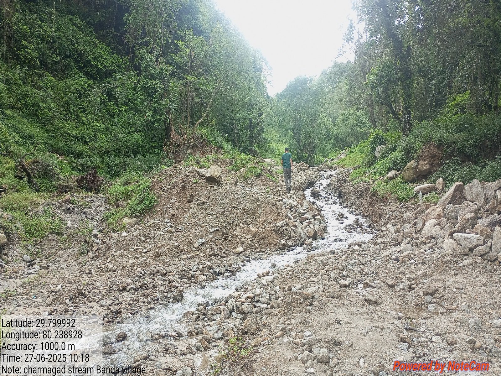
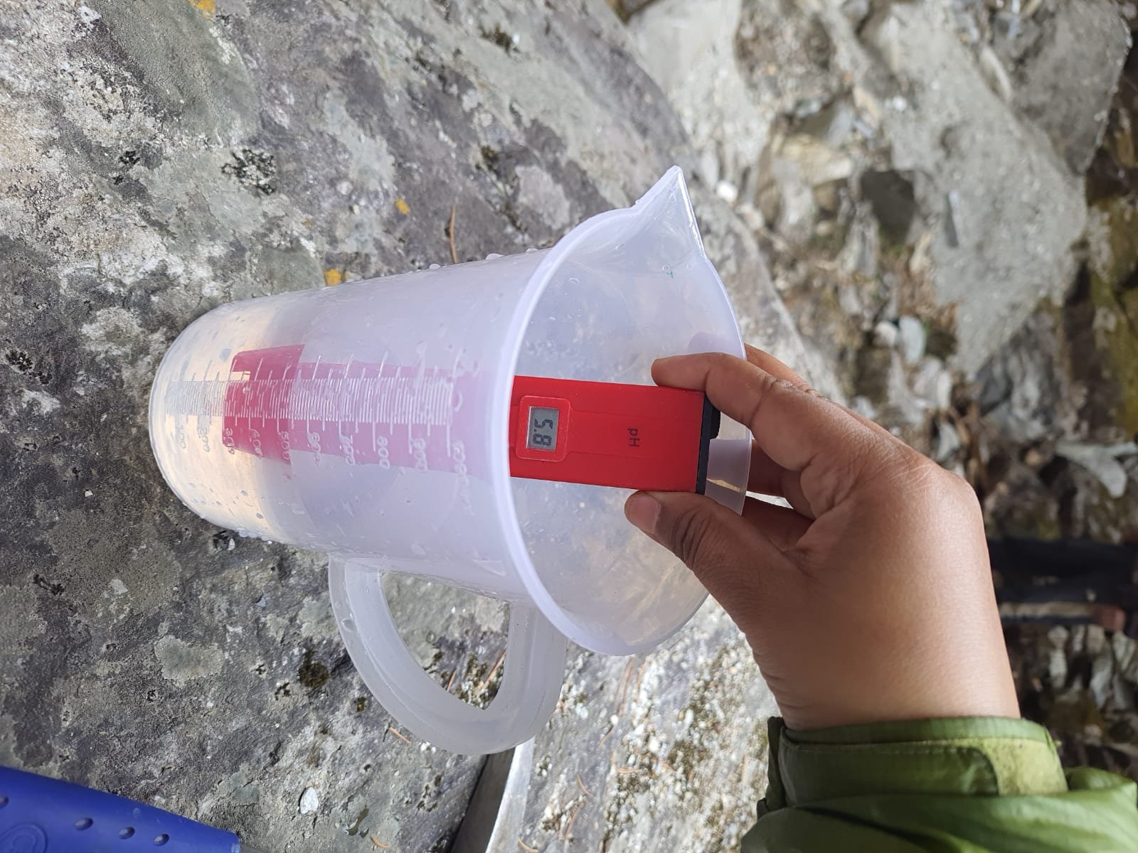
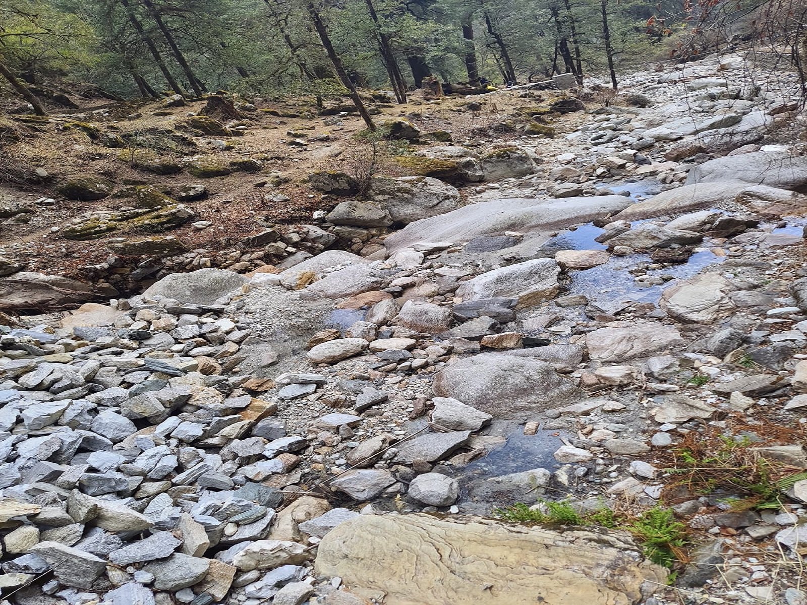
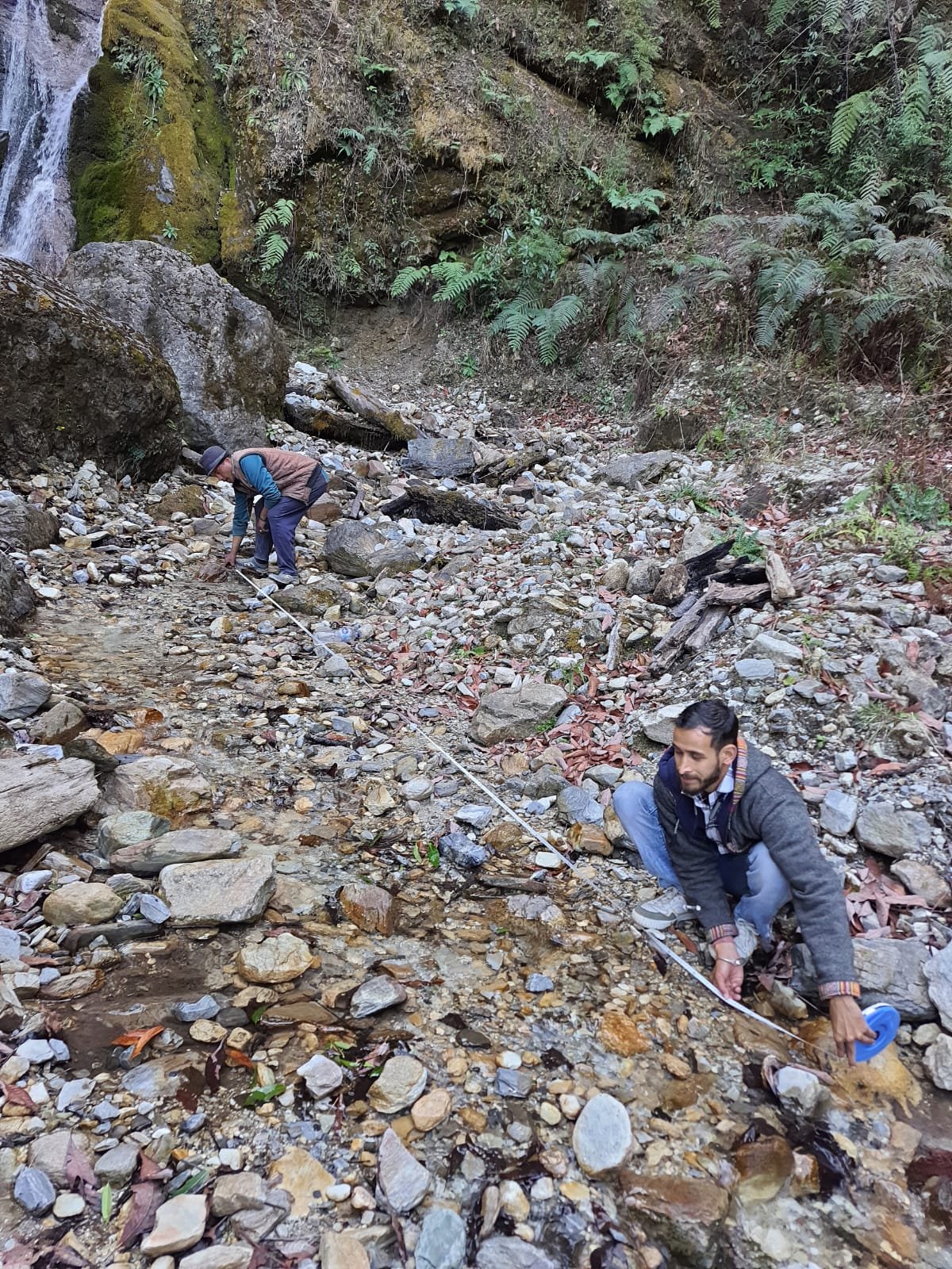
Detailed surveys and mapping of springs, rivers, watershed boundaries, recharge zones, and catchment areas.
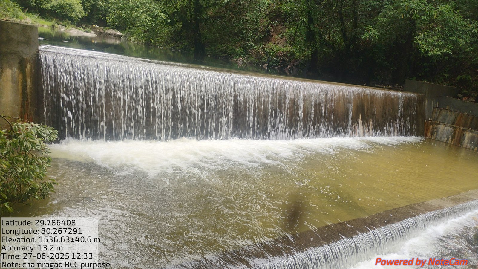
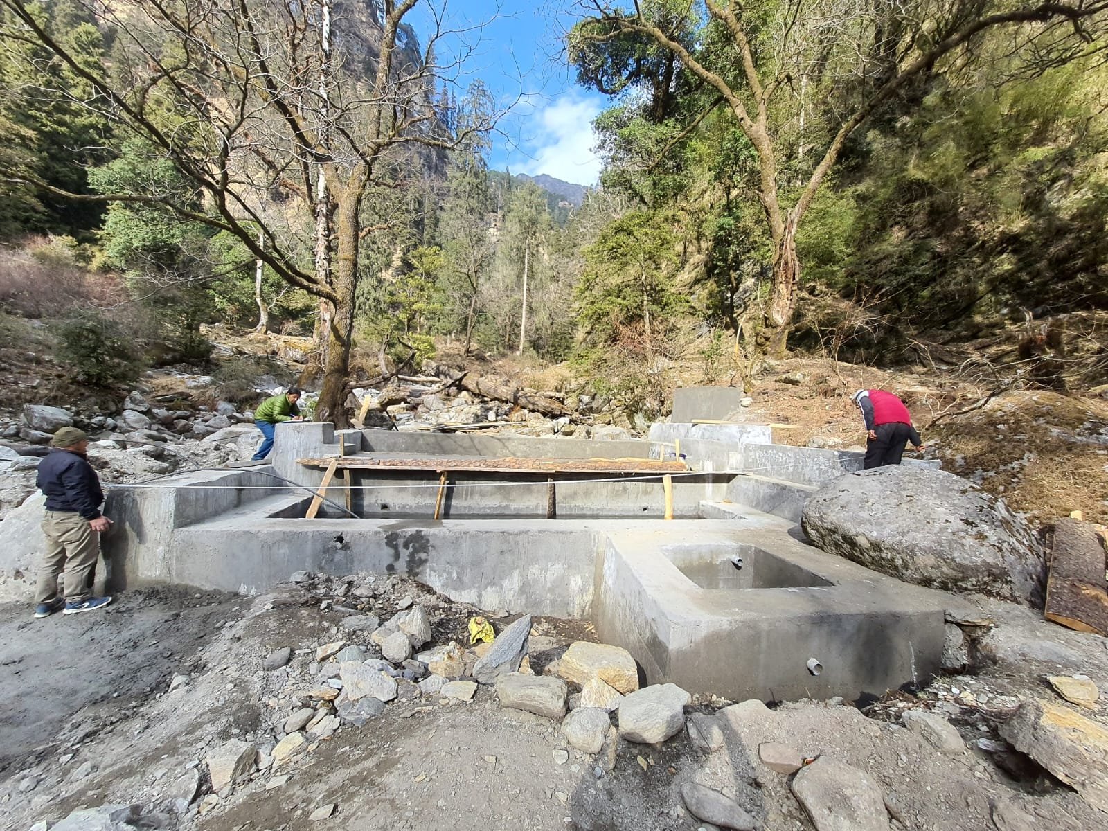
Planning rejuvenation methods such as watershed management, check dams, desilting, and rainwater harvesting.
Promoting afforestation and soil conservation measures for ecological restoration and groundwater recharge.
Tracking project progress through field monitoring, indicators, technical evaluation, and analysis.
Sustainable management of land, water, vegetation, and natural resources for ecological balance and long-term rural sustainability.
Encouraging village-level participation, awareness programs, local stakeholder engagement, and community-based planning for sustainable development initiatives.
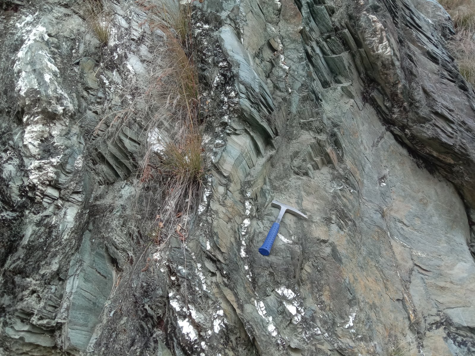
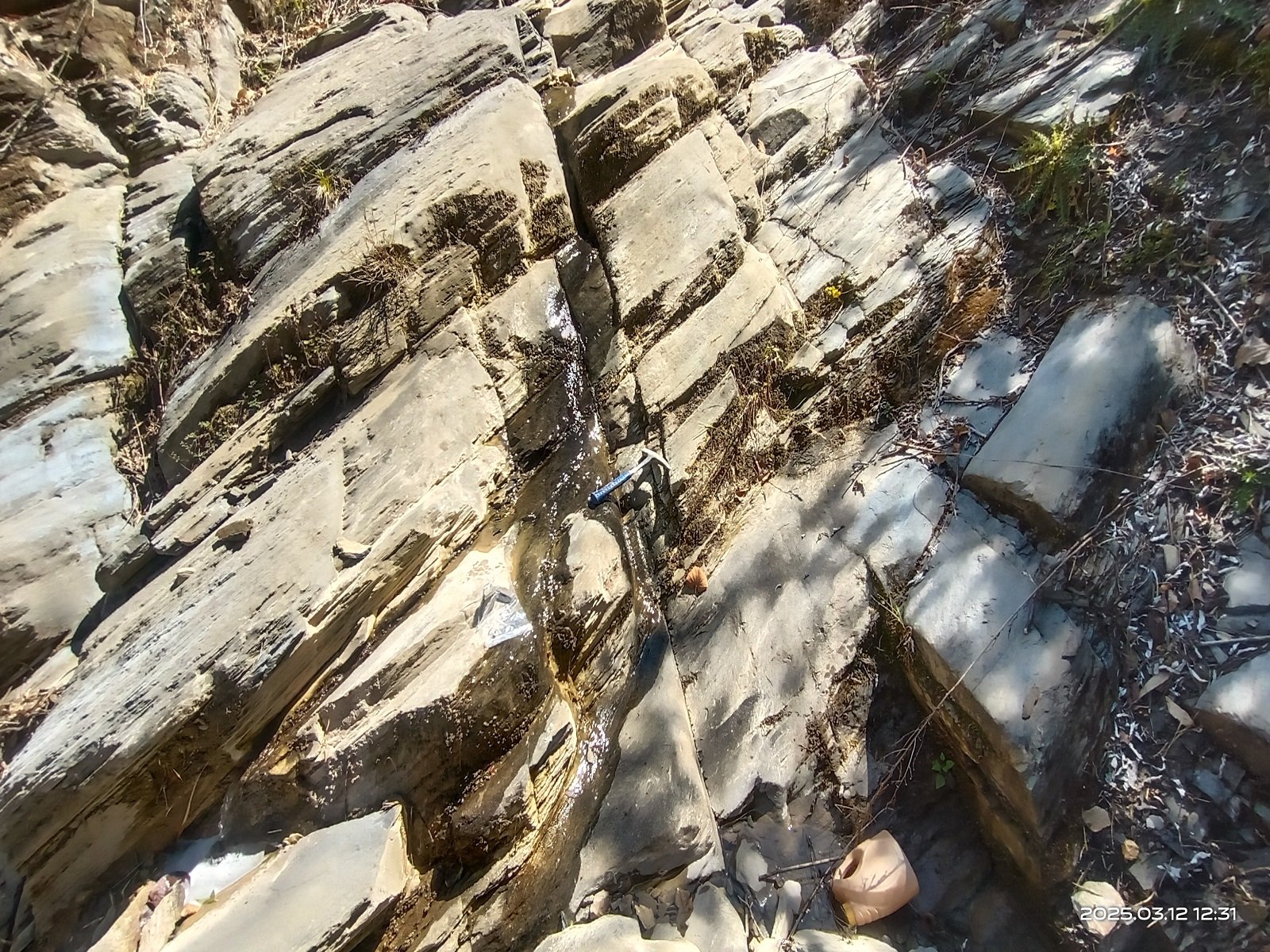
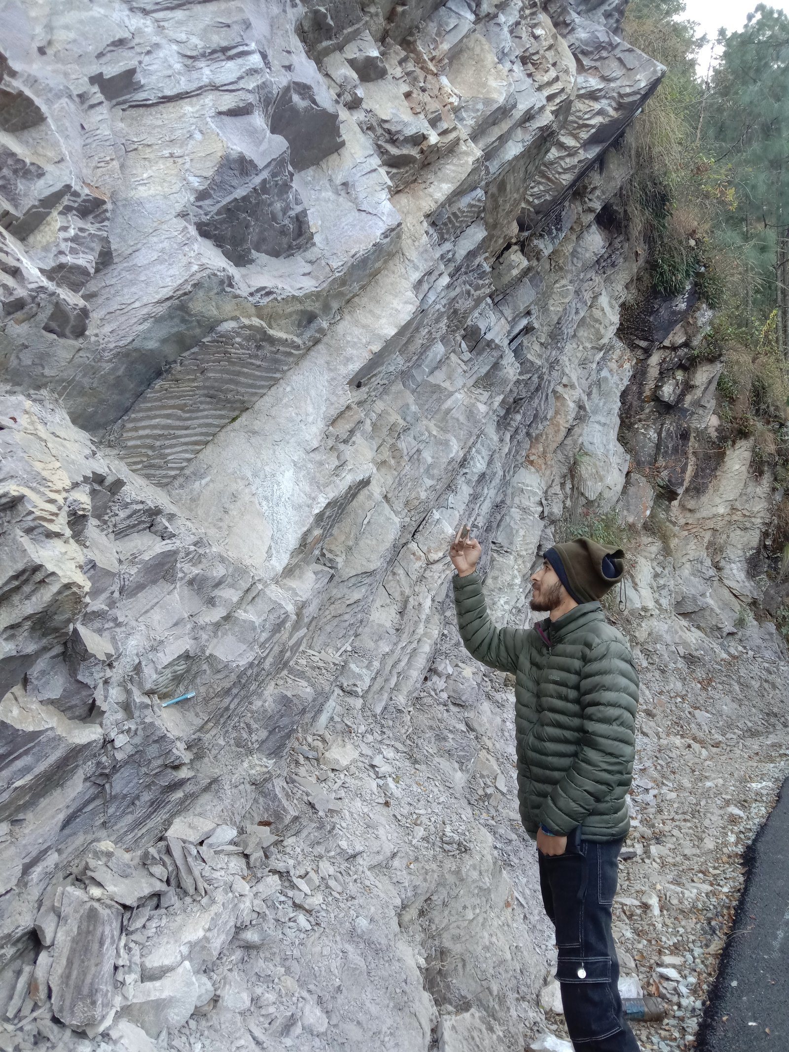
Field studies to identify rock types, fracture orientation, joint sets, and groundwater recharge potential.
Detailed analysis of watershed boundaries, drainage networks, recharge areas, slope aspects, and landforms.
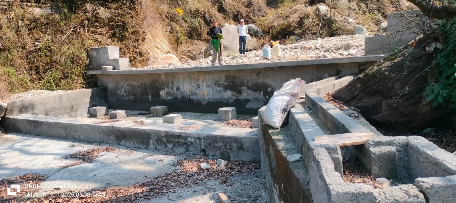
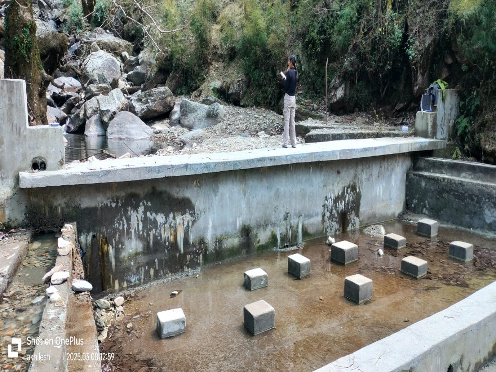
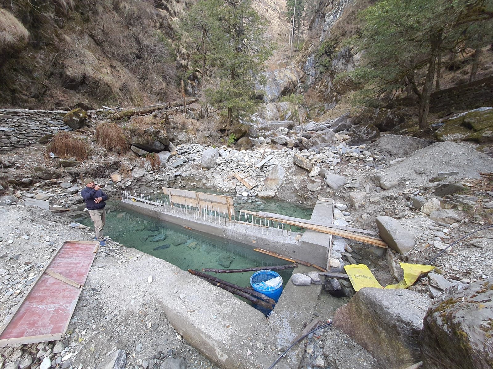
Identification and planning of suitable water harvesting structures and check dams for rejuvenation.
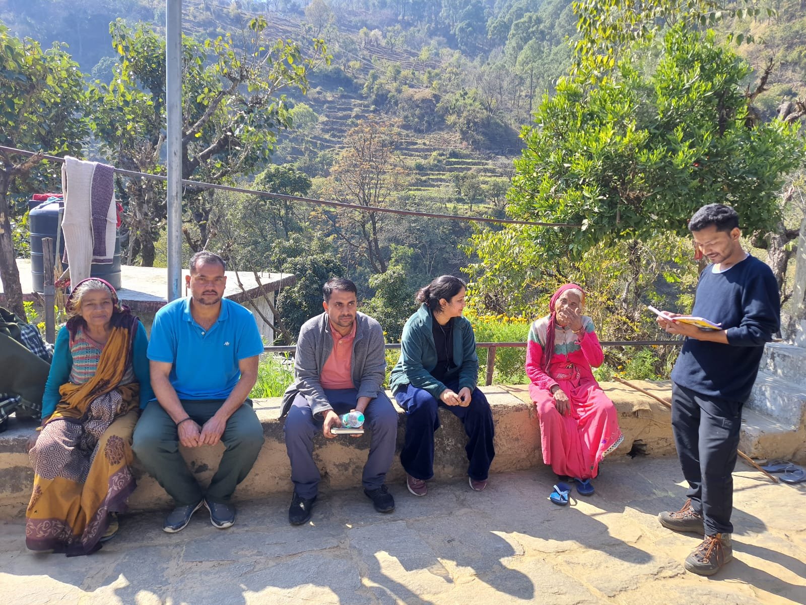
Promoting traditional water conservation techniques and sustainable water use practices among local communities.

Activities focused on soil conservation, rainwater harvesting, watershed management, and sustainable natural resource utilization for rural development.
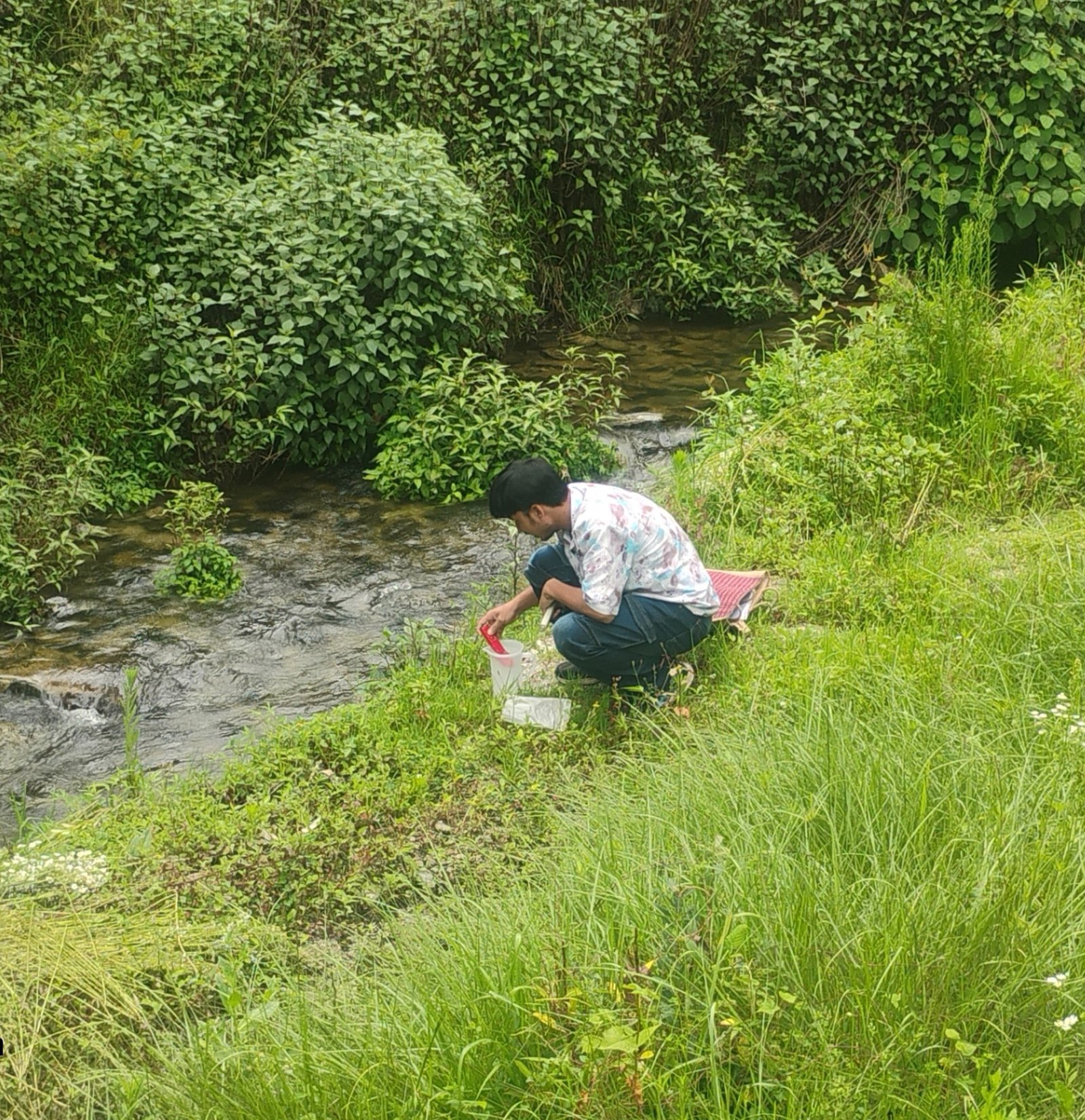
Collection and analysis of engineering field data including contour surveys, stream profiling, structure planning, soil characteristics, and technical assessment for watershed interventions.
The SARRA initiative helped improve groundwater recharge, strengthen ecosystem services, restore springs and rivers, and support sustainable water management for agriculture and community needs.
| District | No. of DPR | Main Department |
|---|---|---|
| Pauri | 32 | 1.Rural Development Department 2.Irrigation Department |
| Uttarkashi | 05 | 1.Rural Development Department 2.Forest Department |
| Chamoli | 50+ | 1.Jal Nigam 2.Jal Sansthan 3.Irrigation Department 4.Minor-Irrigation 5.Forest Department 6.Rural Devlopment Department |
| Tehri | 16 | Rural Development Department |
| Dehradun | 4 | Forest Department |
| Bageshwar | 5 | 1.Jal Nigam 2.Jal Sansthan 3.Agriculture Department |
| Pithoragarh | 4 | Irrigation Department |
| Rudraprayag | 2 | Rural Development Department |
| Nanital | 2 | Irrigation Department |
Total DPR Prepared
Districts Covered
Departments Coordinated
Field Survey Based Analysis
Total DPR Cost
Comprehensive watershed and land resource analysis of the ATA GAD catchment area including intervention planning, groundwater recharge potential, and land use land cover assessment.
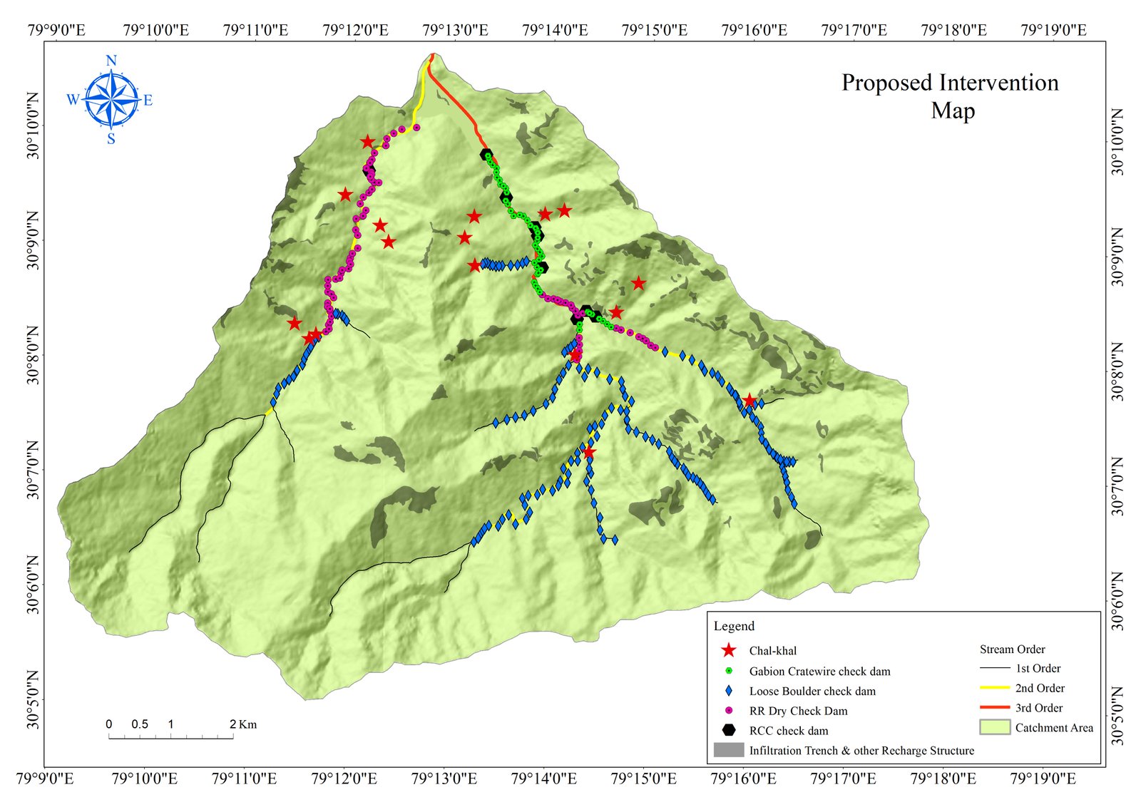
This map represents proposed watershed intervention structures including gabion check dams, recharge trenches, RCC check dams, and loose boulder structures for sustainable water conservation and soil management.
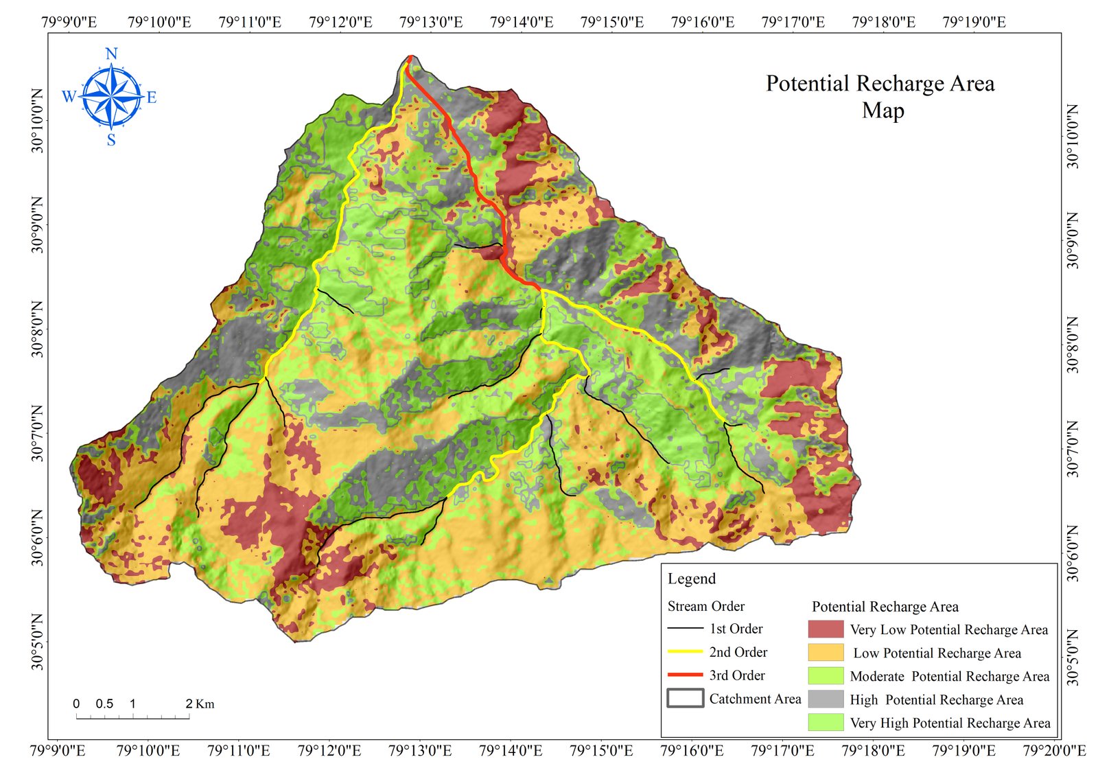
This map highlights groundwater recharge potential zones categorized into
very low, low, moderate, high, and very high recharge areas for integrated
watershed management planning.
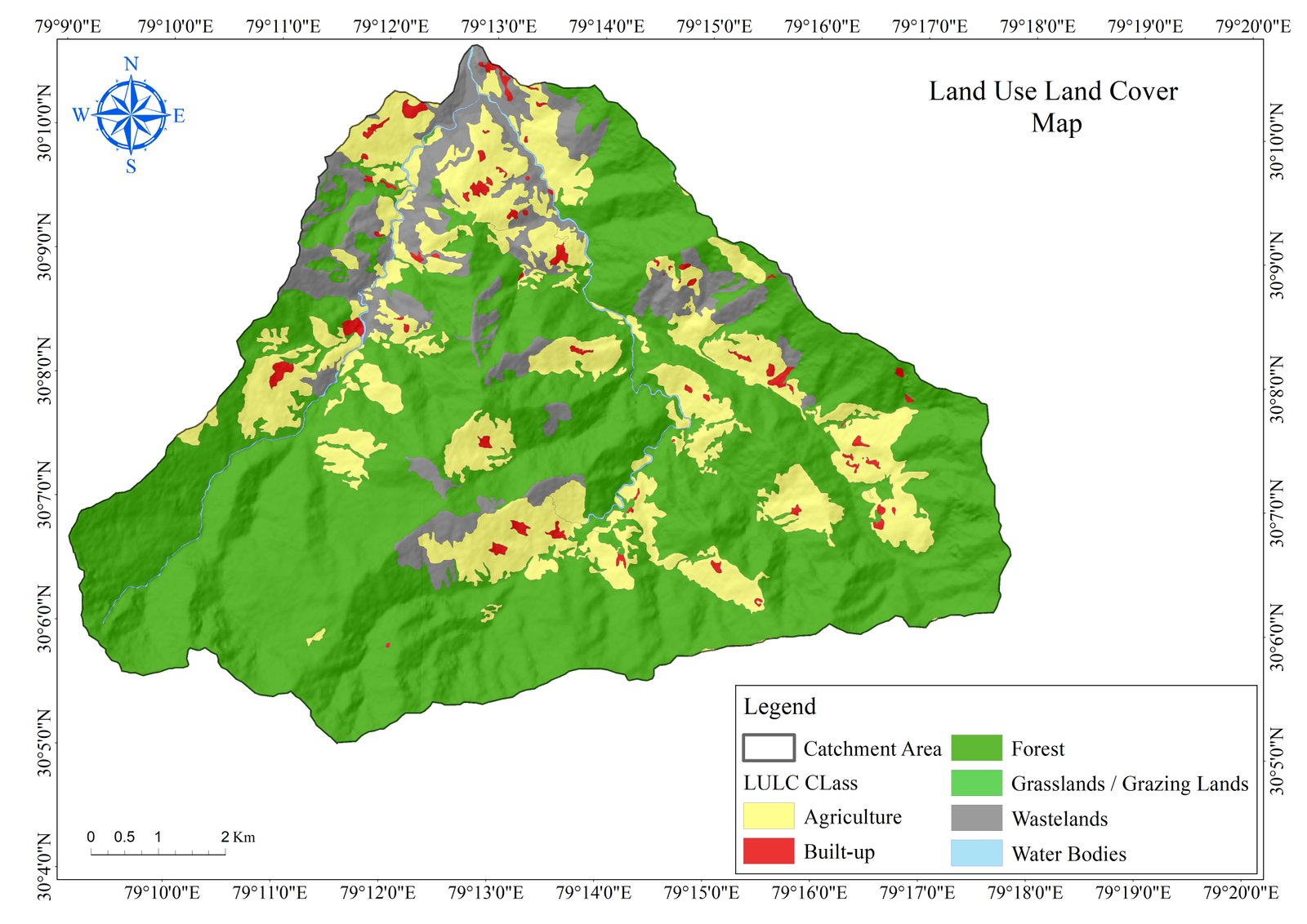
The LULC map illustrates forest areas, agricultural land, grasslands,
built-up zones, water bodies, and wastelands for ecological and land resource analysis.
Scientific watershed assessment and sustainable resource management analysis of the Bhandarigard catchment area including land use analysis, recharge zone identification, and proposed watershed intervention structures.
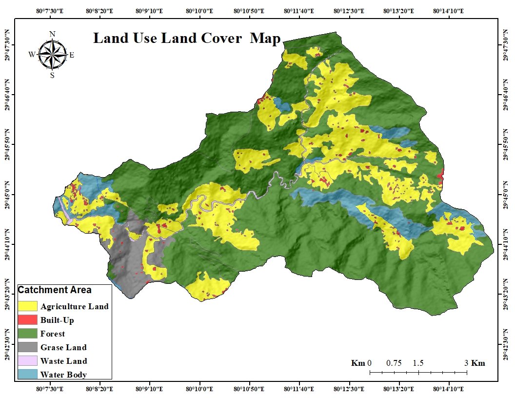
The LULC map illustrates forest cover, agricultural land, built-up areas, grasslands, water bodies, and wastelands within the Bhandarigard watershed for environmental and land resource planning.
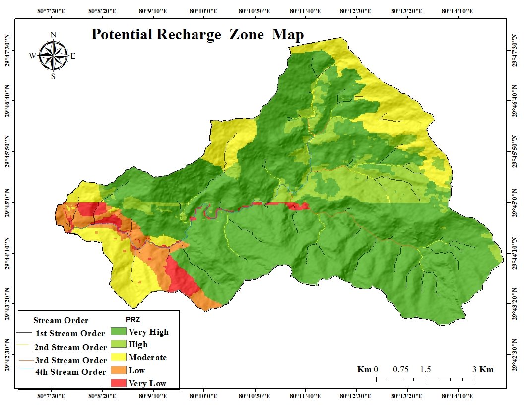
This map identifies groundwater recharge potential zones categorized
into very high, high, moderate, low, and very low recharge areas for
sustainable groundwater management.
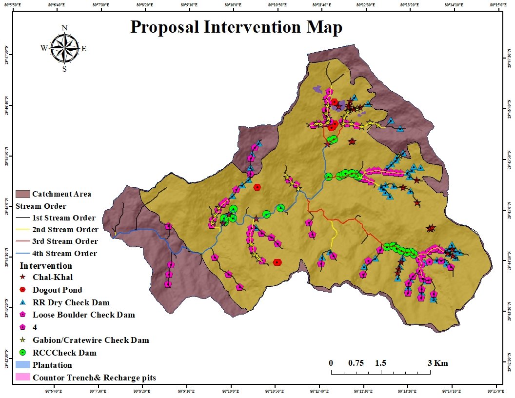
The proposed intervention map highlights watershed treatment structures including check dams, recharge pits, plantations, contour trenches, and stream order management interventions.